
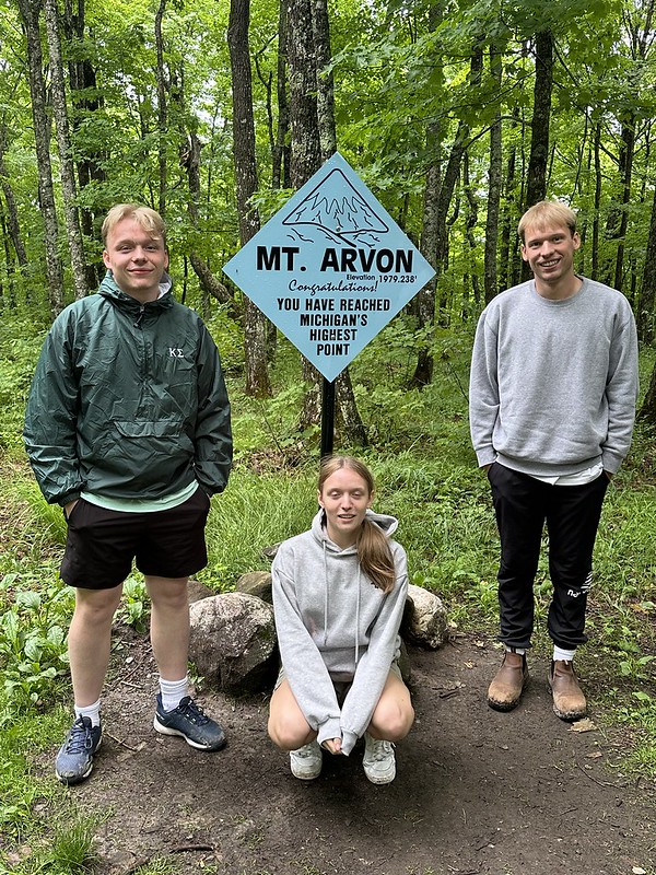
It was a momentous day for the Kralovec family yesterday as we “scaled” Mount Arvon (1,979 feet or 603 meters) and reached the state of Michigan’s highest point. “Mount” Arvon is located in neighboring Baraga County in the Huron Mountain Range. The name comes from the township it is located. Early settlers named the area after the Arvon region in Wales. It was recognized as Michigan’s highest point in 1982. It is located in a remote part of the western Upper Peninsula, 27 miles southeast of the town of L’anse, on Lake Superior.


It was easy to find as there were several descriptions online about how to reach the spot. The road is much improved since many reviews on the internet were posted. We drove to the top parking lot, although I recommend stopping short of this and walking up on a trail that is off to the side of the road. We didn’t see it on the way up as it is not well-marked. Officials have cleared the lookout a bit down from the peak that offers views all the way to Huron Bay, a part of Lake Superior. It was a cold, grey day and we could feel the cool winds coming from the lake. Michigan is not known for its mountains, so 603 meters above sea level is not that impressive, but it was a fun day out trying to find it.

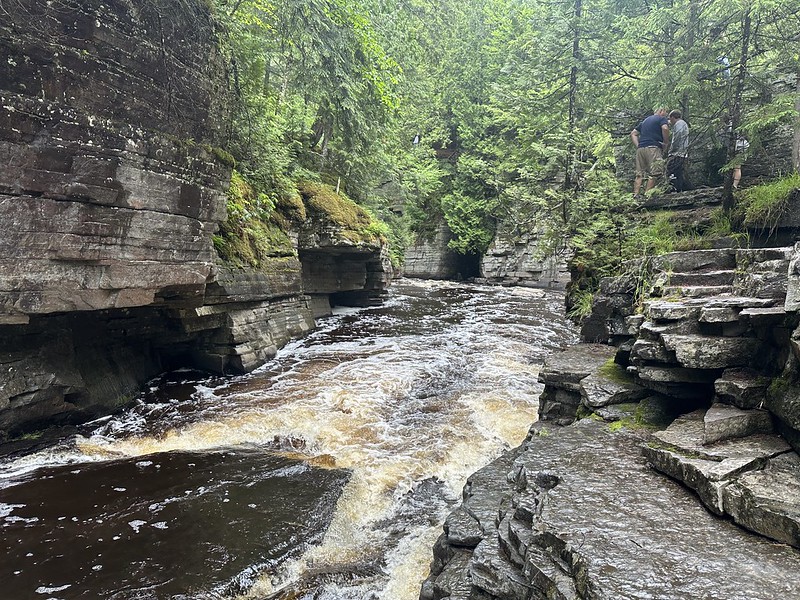
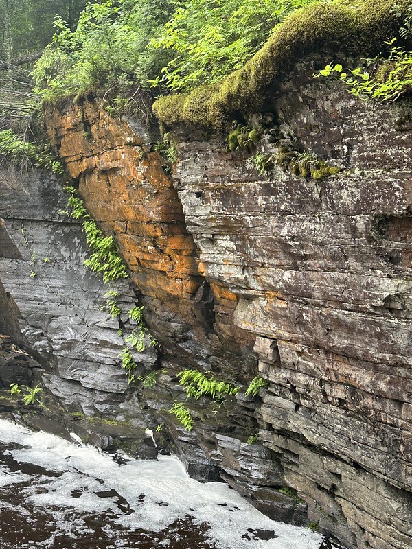
We stopped along the way to visit Michigan’s “Grand Canyon”, Canyon Falls Gorge on the Sturgeon River. The Sturgeon River has cut through the rocks, creating a beautiful gorge. We walked several miles along the river trail, which is part of the North Country Trail. It was a very peaceful spot and I wanted to keep going, but the kids started complaining. I was grateful they were spending time with us.

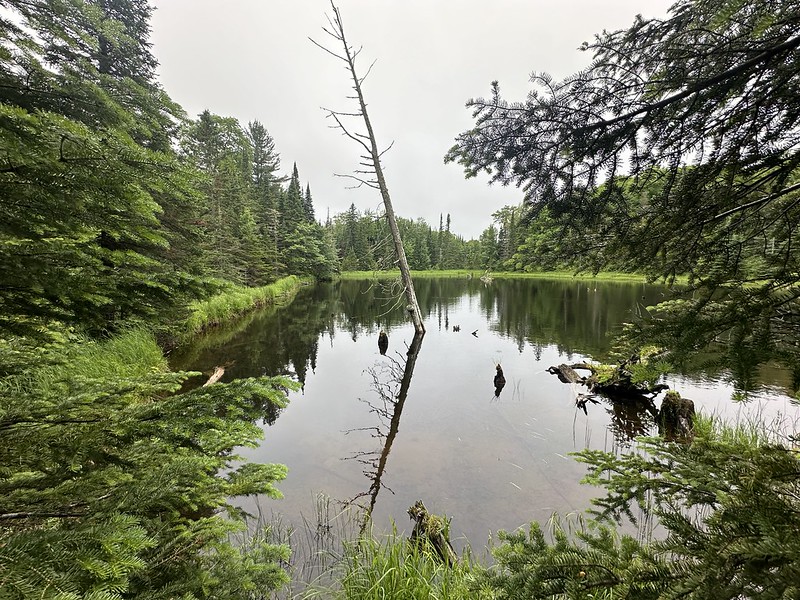
I love the vast amounts of forests we have in the Upper Peninsula. So much beauty to explore!
