
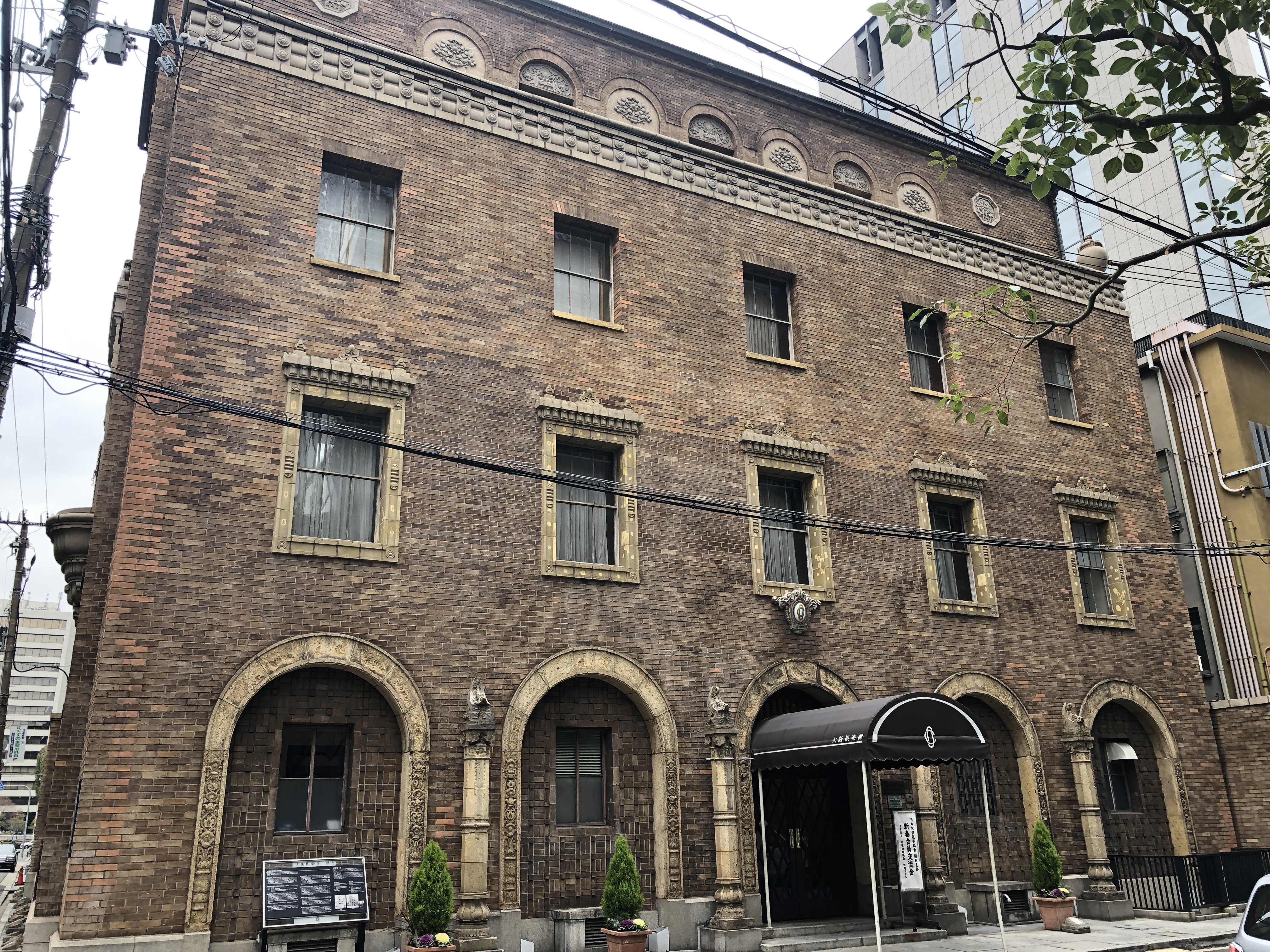
I am realizing my time in Osaka is limited so I am getting around the city and taking photos/videos so I remember it. The Keishin (Kyoto-Osaka-Kobe) metropolitan area of 20 million people is vast and I discover new buildings, neighborhoods, parks, etc. all the time. Below are some photos of my recent travels on bike, foot, car and train.


Osaka is diverse and it is reflected in the photographs above. The 580-meter long ShinSaiBashi Suji shopping street gets up to a quarter of a million visitors on an average weekend. Osaka is a city of rivers and canals which flow through the city, going from the mountains in the hinterlands of Kansai, eventually pouring out into Osaka Bay. Photos above show the Yodo River downtown and the Muko River near the mouth, which is an industrial port zone. Speaking of ports, a couple of the photos are from the artificial island, Rokko. Japanese construction projects are amazing and for 20 years, from 1972-1993, they moved mountaintops behind Kobe on giant conveyor belts to the sea. They created a 3.4 kilometer by 2-kilometer wide artificial island, built from the Rokko Mountain range. The sunset photo is from my morning bike ride. The sun is coming up over Senri New Town, which is really not “new” anymore, being developed in the 1960s and 1970s.
