Reaching the Top of Guam
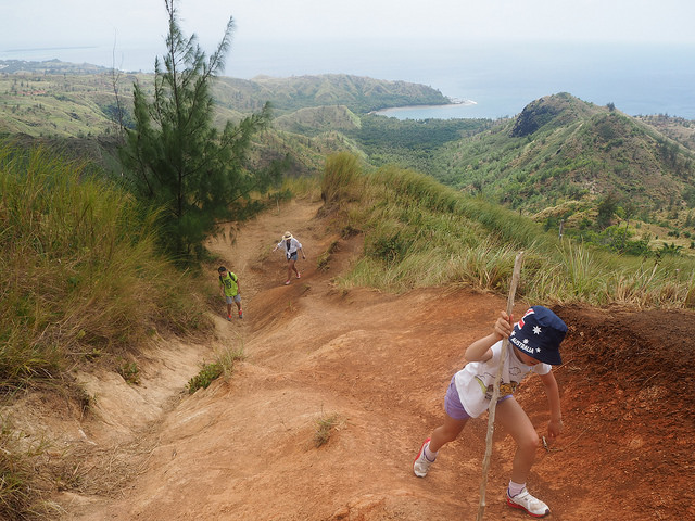
Yesterday we climbed Mount Lamlam (lightning in Chamorro) which is 1,332 feet (406 meters) above sea level. The locals look at it being actually 38,300 feet if you start measuring the elevation from the bottom of the Marianas Trench. However, the trench is 75 miles off the coast of Guam and so cannot really be considered a single geologic feature like Mauna Kea in Hawaii.
We actually did two summits, the first Mount Jumollong Manglo (1,283 feet) is where the annual Good Friday stations of the cross pilgrimage takes place. We saw the white crosses at regular intervals and the big monument cross was a short distance from the fork for Lamlam.
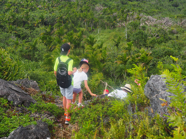
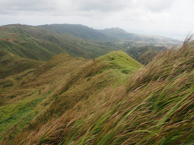
We encountered steep hillsides of sawgrass in the initial portion of the hike. It reminded me of the 1998 movie about the WWII battle for Guadalcanal, The Thin Red Line . The sign that used to indicate which direction to the two peaks are the fork is missing. For those of you reading this before doing the hike, Jumollong is to the right and Lamlam is to the left on the smaller trail.
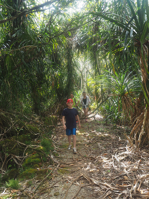
The path to Mount Lamlam goes through some incredibly beautiful Pandanus forest and limestone outcroppings. It is amazing to think that the limestone rock was once coral reef. One needs to be careful climbing on the sharp rock, especially towards the peak. It was the most pandanus trees I have ever seen! It felt like walking on the set of Jurassic Park. I am not sure which species of pandanus of the 750 total, but it is also known as the “screw pine” because the leaves are arranged spirally like a screw and the fruit looks like a massive pine cone. They kind of look like palms, but are not related. I also spotted several cycads, which are endangered in Guam. The forests surrounding Lamlam peak are the only limestone forest tracts except in the Guam National Wildlife Refuge in the far north of the island.